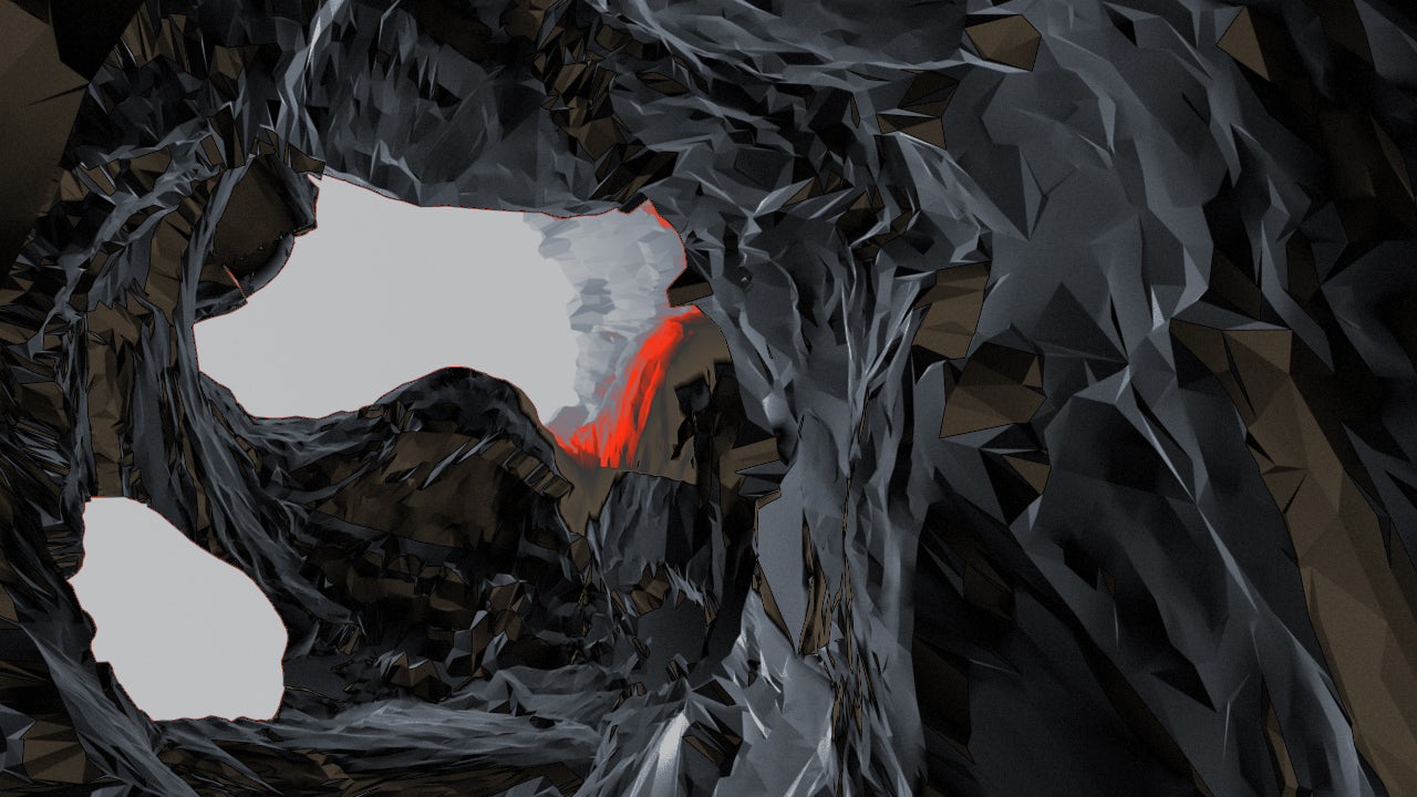
Heightmaps as Terrain Representation
A common way in science and for computer games to represent terrain as a volumetric model are digital elevation maps, which are created from two images of a terrain from different angles (a stereo view), taken from an airplane or by a satellite.
A simplified way to store this incredibly comprehensive data are scalar heightmaps, where the contrast scale represents the elevation of a terrain: black areas represent lowest and white areas elevated terrain.
We thought the incredible irregular detail of natural structures can probably be best mimicked by a dynamic generative system, than made up from skratch and drawn by hand. Specialised terrain and heightmap generators like Terragen provide an interface to generate landscapes e.g. for computer games. But these tools aim to create static terrains as naturalistic as possible, whereas we wanted surrealistic and dynamic topographies: drifting glaciers, shifting plates and brittle rocks.
A scalar heightmap as used in science
Screenshot from the software tool
Ice floes on a frozen lake
“Displacement” of a scalar heightmap into a 3D model